
 Warmer weather returned, accompanied by widespread rain
and snow in western and northern portions of the region.
Warmer weather returned, accompanied by widespread rain
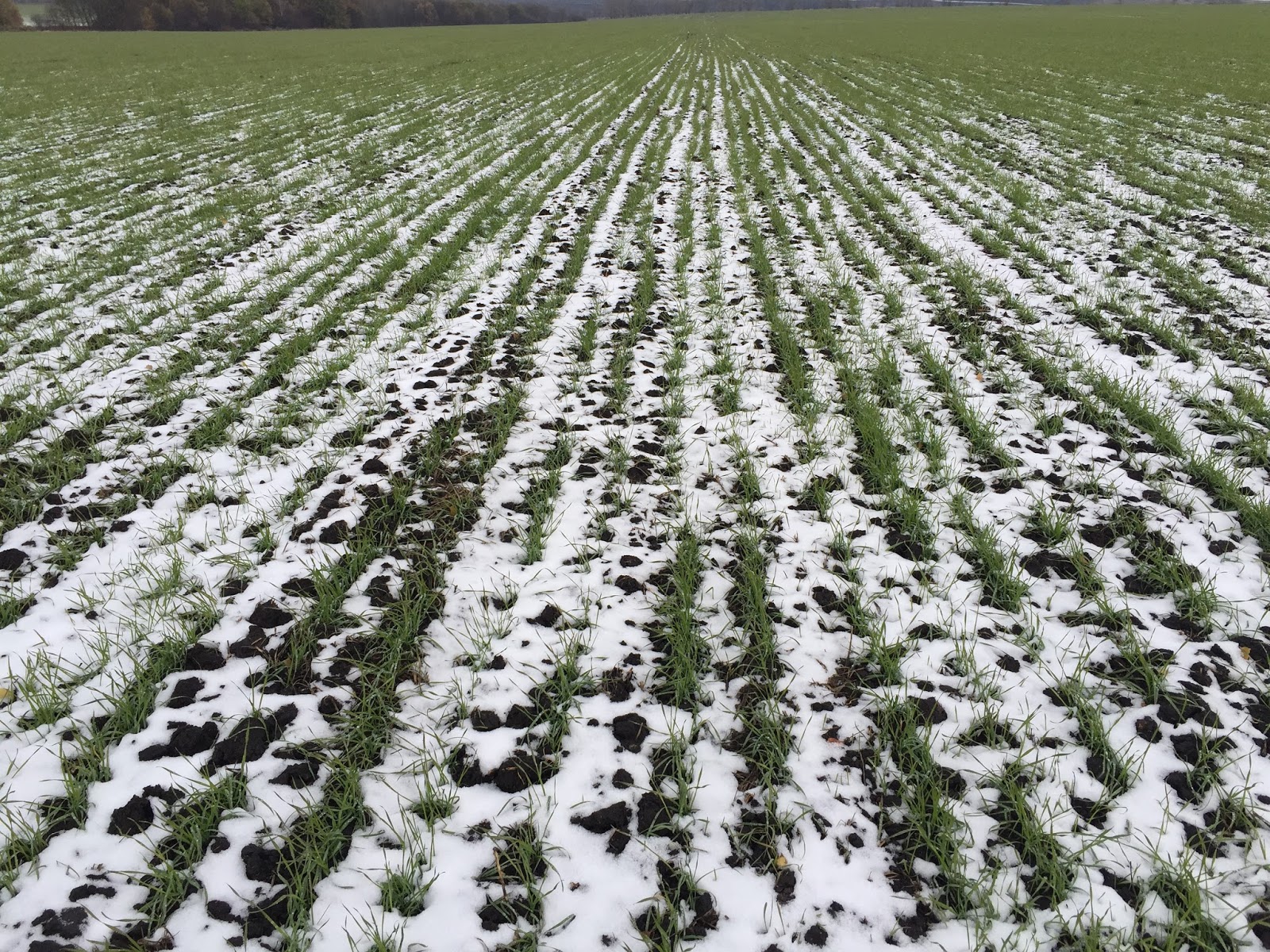
and snow in western and northern portions of the region.After recent cold weather ushered winter wheat into dormancy in all but southern-most growing areas, a strong southerly flow caused daytime highs to jump into the teens (degrees C) from central Ukraine into southern Russia, with lower to middle 20s observed closer to the Black Sea Coast.
The anomalous warmth (up to 8°C above normal) melted much of the region’s snow cover and reduced winter crop cold hardiness.
Moderate to heavy rain and wet snow (10- 65 mm liquid equivalent) accompanied the warm air’s arrival from Ukraine and Belarus into central and northern Russia, maintaining abundant to excessive moisture supplies for dormant winter crops.
At week’s end, the wildly fluctuating temperatures continued, as sharply colder air along with locally heavy snow and ice returned to western and northern portions of the region.